Just some of the details to be found inside this very special Norwich parish church.
Author Archives: Norwich Medieval Churches


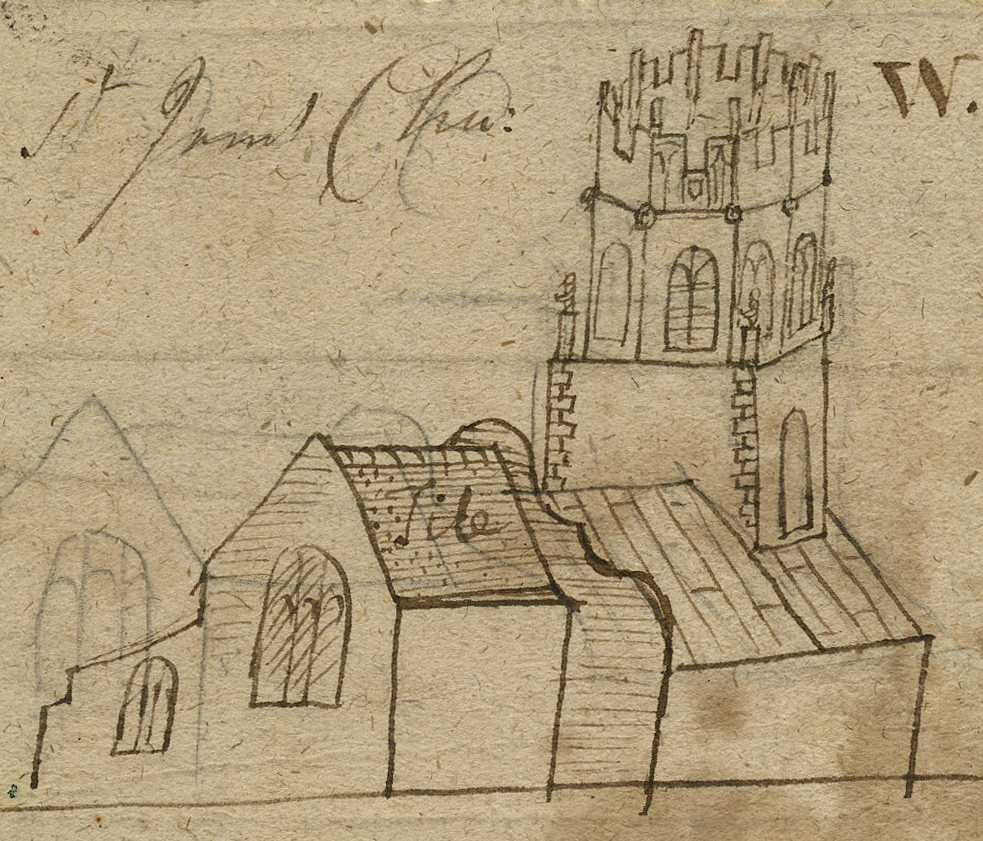
St Gregory
The church of St Gregory is at once one of the most magnificent and most mysterious in Norwich. The parish’s boundary is the only one of the five parishes which abut the river between St John Maddermarket and St Swithin to extend south of St Giles/Broad Street. It may have pre-existed St Peter Mancroft and St Giles, constructed c. 1070 and late 11th century respectively. The building which survives today has a nave design of the 1380s and the high altar, situated in a newly built chancel, was probably dedicated in 1401.
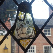
‘Seeing Through Time: the painted screen from St Gregory’s, Norwich’ This 10 minute film shows the work undertaken by skilled conservators to clean and study the 15th century painted screen, with commentary and explanation by members of the research team.
St Peter Southgate
‘St Peter Southgate Church, Norwich’ by Joseph Stannard. Copyright Norwich Castle Museum and Art Gallery/Norfolk Museums Service
St Peter Southgate was the southern-most parish church inside Norwich’s city walls at the far end of King Street. Located in an area historically associated with fishermen the church’s dedication was pertinent to its location and congregation. The church was rebuilt in the second quarter of the 14th century with additions in the early 16th century. Having fallen into disrepair it was demolished in the 1880s.
St Botolph
St Botolph was a 7th-century East Anglian saint, traditionally associated with the pre-Conquest monastic community at Icanho (probably Iken near Snape in Suffolk). Like Botolph churches elsewhere in northern Europe, the four London churches dedicated to the saint were located next to gateways in the city wall, at boundaries where merchant paid tolls. The position of the lost church of St Botolph in Norwich therefore is intriguing.

Site of St Botolph’s, detail from Millard and Manning’s map of Norwich (1830)
St Ethelbert’s chapel
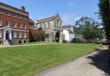
Original site of St Ethelbert’s with the Ethelbert Gate in the background
The chapel of St Ethelbert was probably located inside the cathedral precinct, but its parish also included buildings outside, suggesting that it preceded the creation of the monastery, c.1100. A geophysical survey has found its likely site under the lawn in front of nos 2-4 The Close. It survived until the summer of 1272 when a combination of bad weather and controversy between the citizens of Norwich and the cathedral led to its suppression. The parishioners were transferred to St Mary in the Marsh by a charter of the bishop dated 8th August. Three days later the simmering tension between the priory and the citizens resulted in riot and the torching of the cathedral and its enclave. Cause and effect are difficult to disentangle here, but a later bishop, John Salmon, created a new chapel of Ethelbert above the gate that bears the saint’s name, perhaps to salve residual local anger; as if to stress the point, it was given direct access from both the cathedral enclosure and from Tombland. For more information, click here: St Ethelbert’s chapel and the riots of 1272. (.pdf)
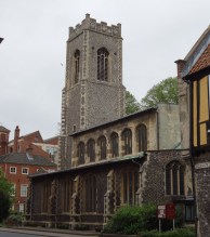
St George Colegate
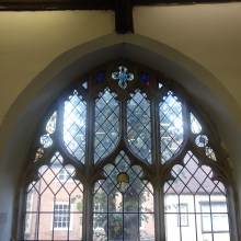
St George Colegate conveys a spatial harmony and unity of aesthetic that implies a single, concerted building campaign, though work in fact spanned about 70 years. The view from the south shows the impressive west tower rising high above a nave characterised by a consistent use of flint at aisle level and an ashlar clad clearstorey. Inside, the arcade is relatively low (just over 17’), noticeably less than others of the period. Each arcade bay supports two clearstorey windows, but the lack of any vertical moulding joining the two levels and the height of the wall separating them encourages a reading of the whole as three horizontal layers rather than as a series of vertical compartments. This is further enhanced by the width of the nave and the low pitch of the roof, which adds to the elegant and restful effect. Most unusually, a fairly uniform window design, a three-light division with a central ogee, is used almost throughout the building, in chancel, nave and clearstorey.

St Mary Coslany

St Mary Coslany 1883 OS Map

Transept chapel

The porch
")
St Mary Coslany, 1943 (Todhunter Collection)
The oldest parts of the present church are the 12th-century round west tower and the adjacent nave west wall, on which can be seen the probable height of the original nave and the slope of its gable roof. The nave today is substantially wider and higher than the 12th-century building and is likely the result of a 14th-century enlargement which also included the chancel. The window openings and their tracery is, however, largely of the 15th-century. Building of the transept was being paid for and the resulting chapels furnished in the mid-1460s; this was the last major extension of the church.
- St Mary Coslany location (.pdf)
- Transeptal Chapels (.pdf)
- The porch at St Mary Coslany (.pdf)
- Todhunter Biographical Note (.pdf)
St Martin at Oak (Coslany)

Location and setting

Alabaster fragments

Thomas Wilkyns’ aisle
Evidence from the enrolled deed maps indicates the parish to have been a ribbon development extending up Oak Street to Baker Road, with the River Wensum to the west. Given the church’s dedication, it is plausible that at the time of foundation an entrance into Coslany (through a ditch or rampart) was located close to this church – perhaps immediately to the north, just beyond St Martin’s Lane. Churches dedicated to St Martin are very often just inside entrances, referencing the location at which the saint divided his cloak to share with a beggar. The other known examples in Norwich, at Palace Plain and the outer bailey at Norwich Castle, followed the same principle. The church’s popular sobriquet ‘at Oak’ references a tree in the churchyard which contained an image of the Virgin Mary. Together the oak and its icon were a focus for popular devotion and the requested burial place of John Buxton in 1513 and his wife Alicia in 1521.
- St Martin at Oak location (.pdf)
- Alabaster fragments from St Martin at Oak (.pdf)
- Thomas Wilkyns’ aisle (.pdf)
St Margaret in combusto (St Margaret Fybridge)
This parish was located at the northern extremity of Norwich at the end of Magdalene Street. St Margaret’s stopped being used in the 15th century, perhaps owing to changes in population densities in this peripheral part of the city, but it seems at least part of the building was still standing in the 1670s. Following redevelopment of the site in the 18th and 19th centuries, and bomb damage in the 1940s, the church and parish are known largely through late 20th century archaeological excavations.
- St Margaret in combusto (.pdf)

Area of St Margaret in combusto, detail from Hochstetter’s map (1789)
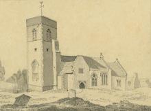
St James Pockthorpe
An archaeological watching brief and some excavation at St James Pockthorpe in 1979 established the successive phases in the development of its plan. The earliest church, of the 12th century, consisted of a rectangular nave with a somewhat smaller (shorter and narrower) rectangular chancel to the east. A south porch was subsequently added to the nave. The west tower, with its flanking compartments, came next. Finally, in the 15th century, a south aisle was added which required the destruction of the first porch and led to the building of a new one abutting the tower block.
- St James Pockthorpe location (.pdf)
- St James Pockthorpe west tower (.pdf)
© Norwich Castle Museum and Art Gallery/Norfolk Museums Service
St Clement Colegate
-

- St Clement’s East Window
-
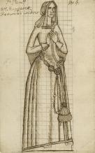
- Mrs Margaret Petwood, widow. © Norwich Castle Museum and Art Gallery/ Norfolk Museums Service
The earliest surviving parts of the present church date from the mid-14th century. The quoins of the nave from this period are embedded in the west wall and the east window of the chancel is apparently in situ. The early roof line of the nave on the east wall of the west tower suggests it is part of the same development. In 1448 money was left to reroof the chancel and glaze a window there. Work to widen and refenestrate the nave seems to be contemporary.
- St Clement Colegate east window (.pdf)
- Kirkpatrick’s drawings of brasses at St Clement Colegate (.pdf)
St Paul
The church of St Paul was built on open land on the north-eastern edge of the city in about 1120. It was part of a ‘hospital’ run by the cathedral priory to serve the poor and infirm and remained in their hands until after the Reformation. The round western tower was part of the original building and the foundations of the nave and chancel were probably part of the early ground plan. There was never a chancel arch, the width of the nave being continued through to the east end. A porch was later provided in front of the south door, and a north aisle was added in the fifteenth century. The window tracery of the nave and aisle also dates from this period. The church was restored in 1870, badly bombed in 1942 and later demolished.
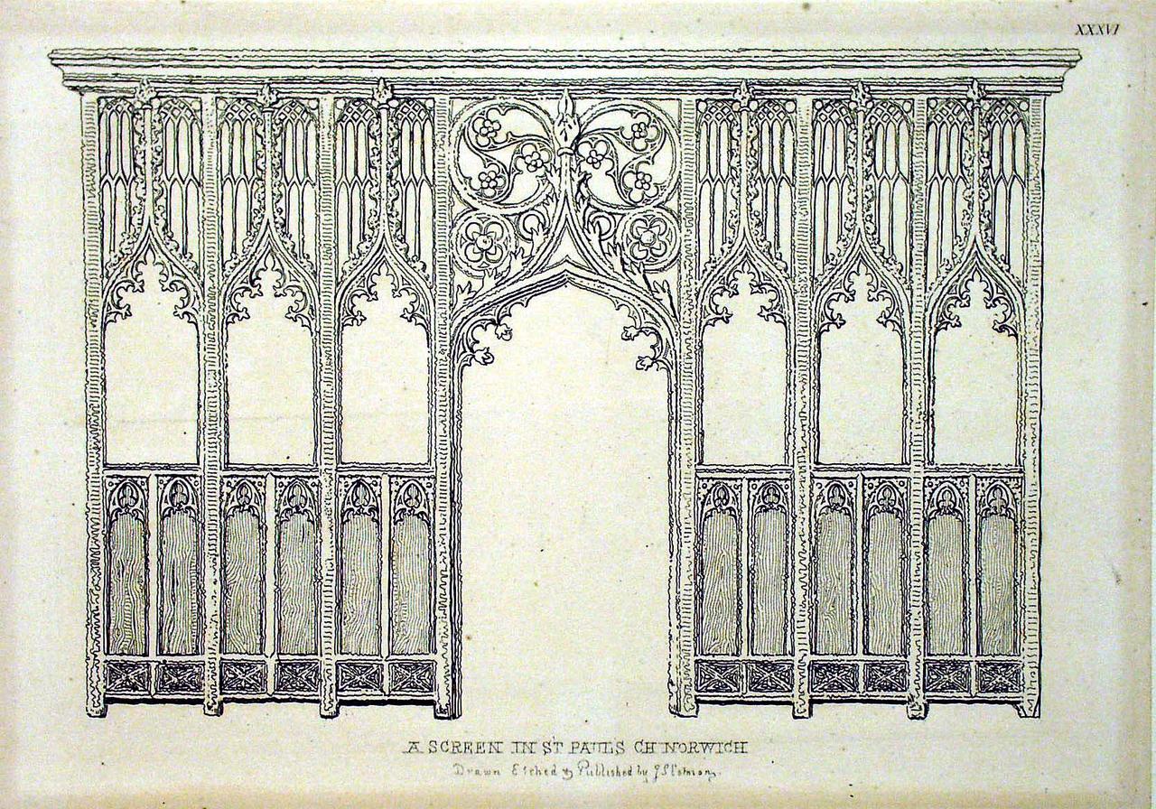
Screen in St Paul’s Church Norwich, J.S. Cotman. Courtesy of Norwich Castle Museum & Art Gallery/Norfolk Museums Service
St Michael at Plea
-
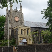
- St Michael at Plea from the south west
-
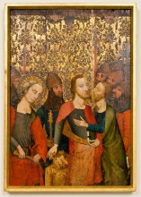
- The Betrayal. Photograph copyright Andy Crouch
The church as it stands is almost all of the 15th century with some restorations subsequently. The tower and chancel probably predate the nave (cf. Peter Hungate, Michael Coslany) and are on very different alignments. The nave, complete with its vandalised angel roof, seems to date from the mid-15th century. There are indications that both north and south transept arms were envisaged at the same time as the plinths are continuous. As built, the northern transept is deeper, perhaps because it housed the archdeacon’s court. The shallow southern arm compensates by adjoining a south chancel chapel which extends it to the east.

You must be logged in to post a comment.